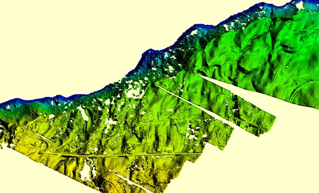
Slope failure is a geologic hazard and is imperative to be detected early on to retain safety. The slope monitoring process through GIS mapping conducted by our experts successfully recognizes the steepness of the ground's surface using the Digital Terrain Model (DTM) and Digital Surface Model (DSM). This information, along with the LIDAR survey data, is essential for slope monitoring, landslide mitigation, and prevention of slope failure. Aerial survey mapping is an added valuable tool used by specialists to track the Earth's movement to help predict and prevent such destruction.
