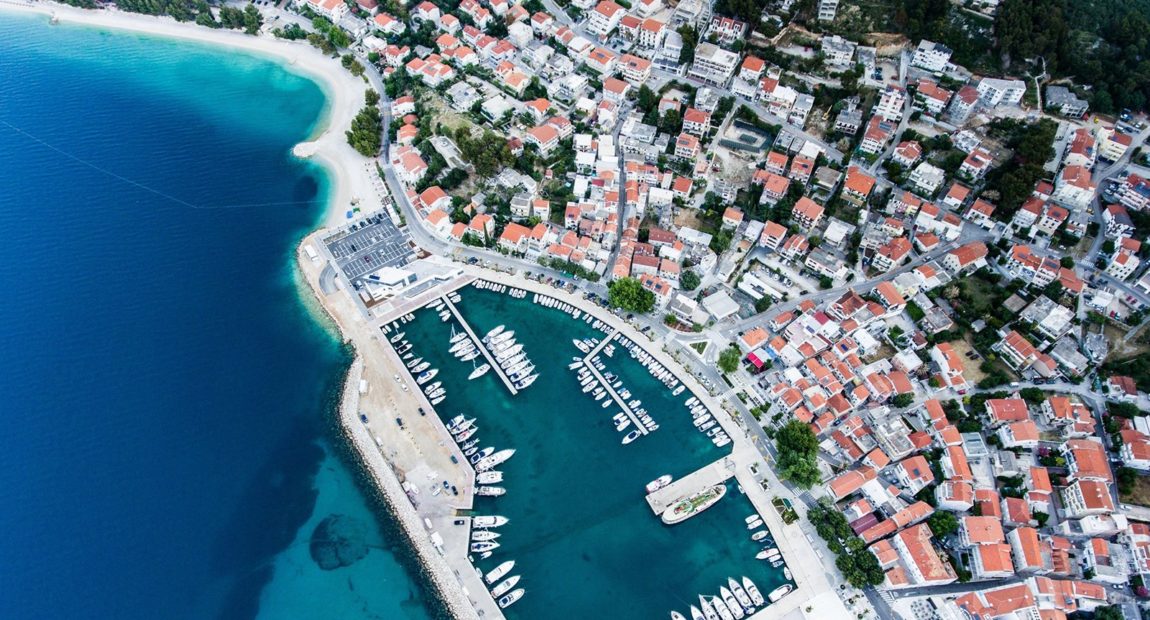
Maps and Models Creation
Our Maps and Models Creation service offers a comprehensive solution for creating accurate and detailed maps and models for numerous applications. Whether you need maps and models for urban planning, real estate development, construction, or environmental analysis, our service can help you achieve your goals.
Process
Our Maps And Models Creation services include:
- Data collection
- Data processing and analysis
- Quality control and assurance
- Delivery of the final product
Our Models Creation process begins with a consultation to understand your needs and requirements. We will work with you to identify the scope of the project, the available data sources, and the expected outcomes. Based on this information, we will develop a customized plan for data collection and processing. Data collection may include a variety of methods, like satellite imagery, aerial photography, LiDAR scanning, or ground-based surveys. We use the latest technology and techniques to ensure the collected data is accurate, reliable, and up-to-date.
Once the data has been collected for Maps And Models Creation, we use advanced software to process and analyze it. It may include creating 3D models, generating digital elevation maps, or creating detailed land-use and zoning maps. Our team has expertise in a wide range of software tools, including ArcGIS, AutoCAD, SketchUp, and Blender, among others.
Our service also includes quality control and assurance to ensure that the final 3D Map Creation and models are accurate and meet your requirements. We will work with you to review the data and make any necessary adjustments or revisions before delivering the final product. The final maps and models
can be delivered in a variety of formats, depending on your needs. We can provide digital files, like PDFs, GIS shapefiles, or printed copies. We can also provide interactive web-based maps or 3D models that can be viewed and manipulated online.

Application
Maps and Models Creation service can provide numerous benefits for a variety of applications. Some applications of this service are:
- Urban planning
- Real estate development
- Construction
- Environmental analysis
- Infrastructure development
- Disaster response and management
Models and 3D Map Creation service is used to create accurate and detailed maps and models of cities and towns to aid in urban planning. It includes analyzing population density, traffic patterns, and land-use trends, and identifying potential areas for development or redevelopment.
This service is used to create detailed maps and models of potential building sites, assess environmental risks, and
visualize the final product. This can help developers make informed decisions and optimize the use of resources.
Maps and Models Creation service is used to plan and manage the construction process by creating detailed maps and models of the construction site. This can help identify potential hazards, optimize site utilization, and improve safety.
This service is used for detailed 3D Map Creation and models of the natural environment, including topography, vegetation, water resources, and wildlife habitats. This can help identify areas of ecological significance and inform conservation efforts.
Maps And Models Creation service is used to create detailed maps and models of transportation networks, power grids, and other infrastructure systems. This can help identify potential areas for expansion or improvement and improve the efficiency of these systems.
This service is used for detailed 3D Map Creation and models of areas affected by natural disasters such as floods, earthquakes, and hurricanes. This can help in disaster response efforts, like identifying areas requiring emergency services, and inform long-term recovery and rebuilding efforts.
Our Maps and Models Creation service offers a comprehensive and customizable solution for creating accurate and detailed maps and models. Our team of experts uses the latest technology and techniques for Maps And Models Creation to ensure that the final product meets your requirements and provides valuable insights for your business or project.